


|
|
CAPE VERDE ISLANDS - HIKING ON SANTO ANTÃO
AND FOGO
|
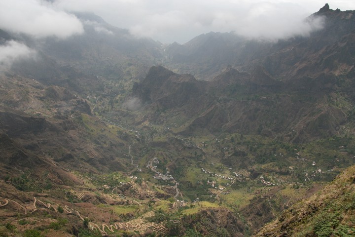
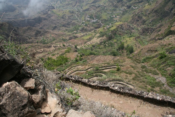
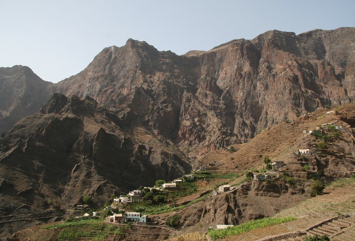
After I had completed
a day trip from Cova crater to Pico da Cruz and back, and then down to the
valley of Paul, I was all well set for the things which then should follow.
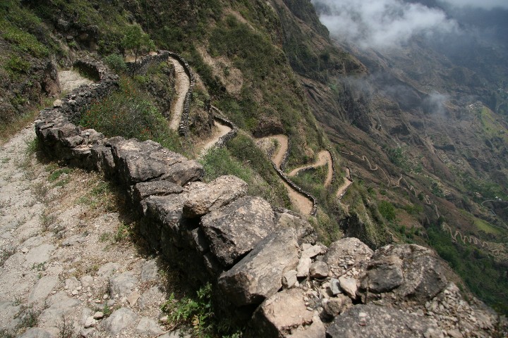
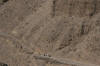
From Cova crater down into the valley the trail was winding down in narrow
and steep switchbacks, which meant a lot of strain for the toes (there are
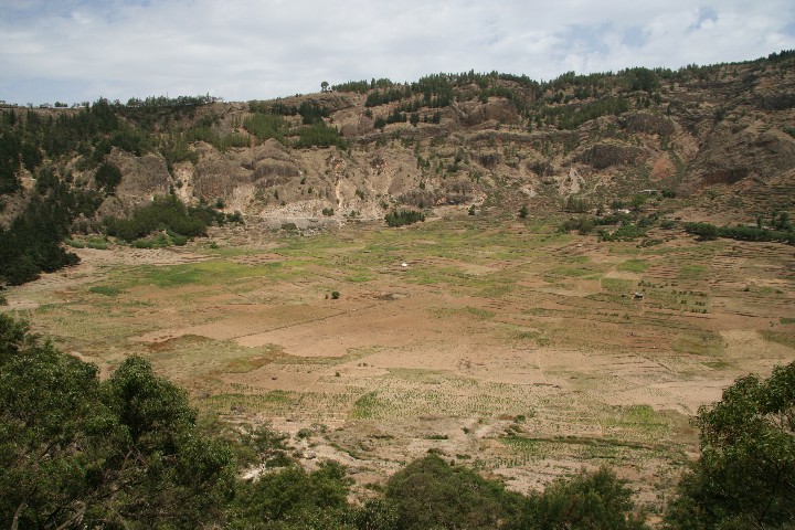
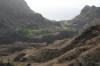
hardly any steps, but the trails have an immense gradient). The valleys
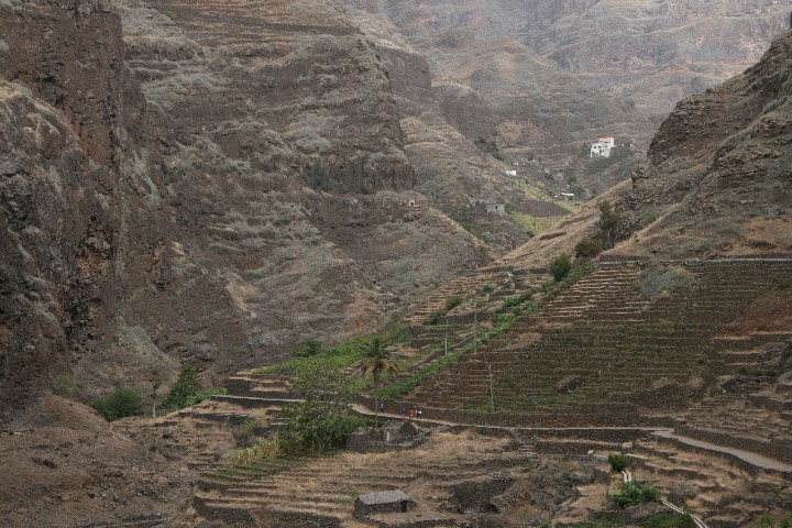
around Paul are superbly green, because they receive sufficient moisture by
the trade wind clouds, even during times with lesser rain.
|
|
|
|
|
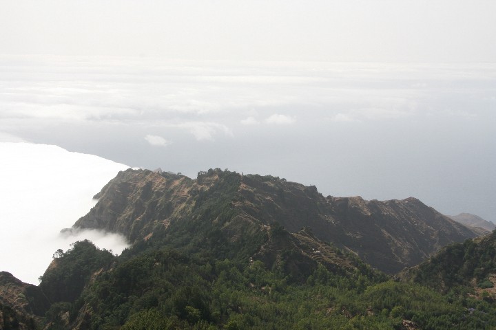
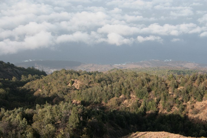
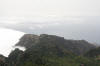
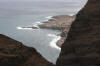
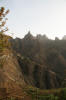
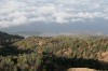
View from Pico da Cruz towards Cabo da Ribeira (End of Paul valley) |
|
|
|
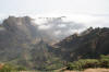
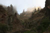
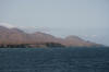
Trade wind clouds |
|
|
|
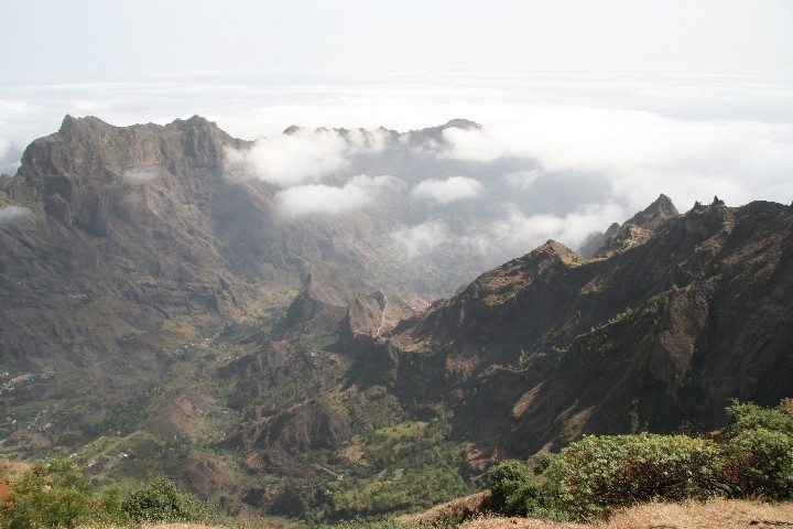
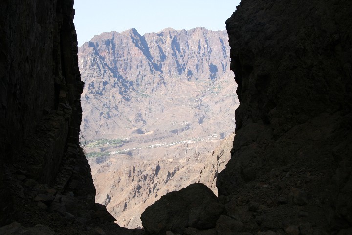
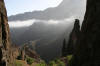
View into the valley Paul |
|

|
|
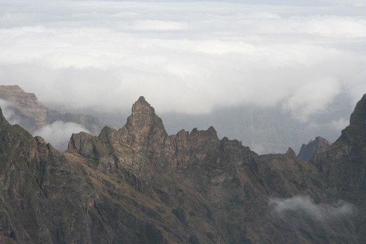
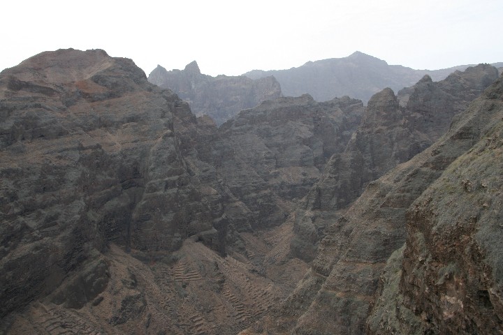
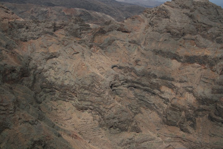
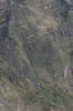
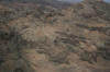
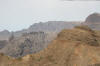
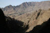
Surrounding ridges |
|
|
|
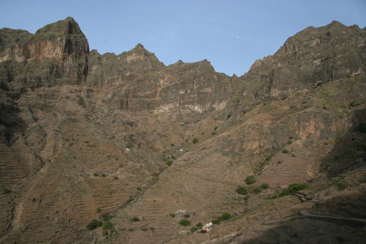
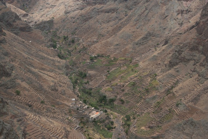
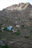
Paul valley |
|
|
|
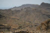
The desccend from Cova Crater is visible |
|
|
|
|
|
Cova Crater |
|
|
|
Down into Paul valley |
|
|
|
|

|
|
Looking back towards the end of the valley |
|
|
|
|
|
|
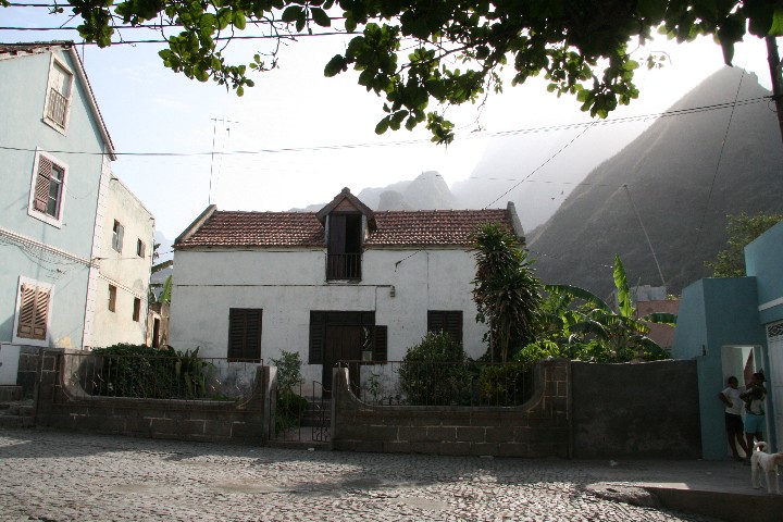
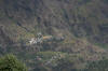
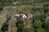
Traditional house |
|

|
|
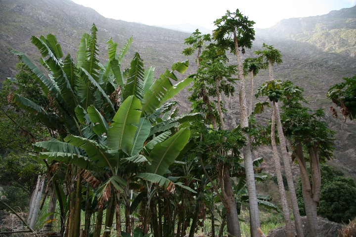
Cultivation of bananas and papaya |
|
|
|
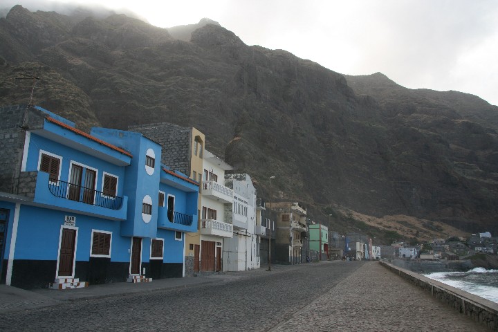
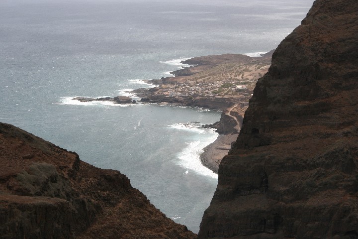
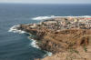
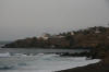
At the coast in Vila das Pombas |
|
|
|
Near Vila das Pombas |
|
|
|
Starting point of my
four days trip which then followed was the most northern point of the
island, the village Ponta do Sol.
|
|
|
|
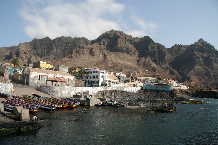
Ponta do Sol |
|

|
|
At the harbour |
|
|
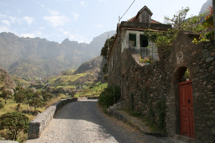
1. Day:
from Ponta do Sol to Cruzinha da Garca
|
A narrow and
unfrequently used dust road along the coast took me up to the village
Fonteinhas. Because of its scenic location and easy reachability, it has
become one of the most photographed sites of the island. This is where the
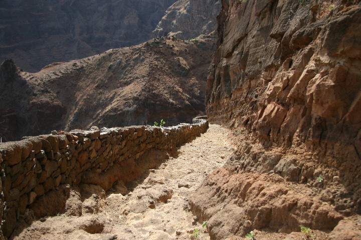
road ends, and a well plastered and stone wall bordered mule trail continues
along the coast. Again and again, gaps in the wall show that there is
rockfall. Looking upwards can be disturbing, countless rocks are hanging
loose and will eventually start their way down with continuing erosion after
rainfall or strong winds. I passed along several beaches which were very
inviting to get a chill down. I then also passed a small settlement which
had been abandoned, something I noticed several times during my trip. Later
I met the road again, which is interrupted between Fonteinhas and Cruzinha,
but I decided to continue along a beach where turtles lay their eggs and
further along the coast until I reached the village. I dropped my luggage in
the guesthouse where I would spend the night, and since I still had enough
time after the six hours walking, I then undertook a side trip to Chã de
Igreja and further on up a pass which leads to Mocha valley.
|
|
|
|
|
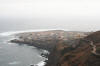
Looking down onto Ponta do Sol |
|
|
|
Fonteinhas |
|

|
|
Top of a pass behind Fonteinhas |
|
|
|
|
|
|
|
|
|
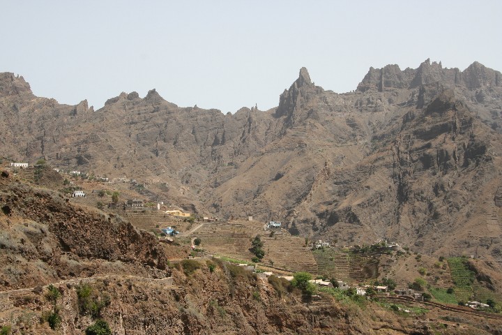
View of Cha de Igreja |
|

|
|
Mocho valley |
|

|
|
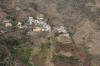
House at the saddle |
|
|
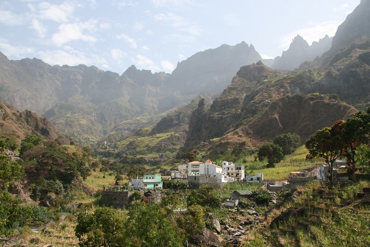
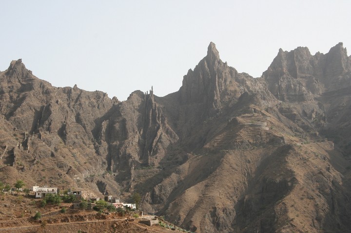
2. Day:
to Figueiras de Cima
|
When I took breakfast
a man from the guesthouse staff approached me and said that he would
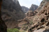
accompany me along the stone beach up to the entrance point of the gorge
Ribeira de Inverno, because some part would be quite difficult to manage. Of
course I knew what he meant. There is a section where the coast bulks out
and therefore, it can only be passed during low tide. I had inquired about
the best time, and I was told that 8.00 am would be good to go. Since I was
ready at that time but could not see the guy, I decided to walk alone, with
the good feeling that it was at low tide. Around half an hour later I
arrived at the site, and the waves slapped against the rock. I put down both
backpacks and tested how it was possible to walk through the water. I waded
over stones and stood kneedeep in the water, then the next wave came in,
slapped against the rock, and made me wet all over. So I realized that I had
to do something in order to bring the content of my backpacks safely to the
other side. I packed everything into plastic bags. I observed that after
some higher waves some came in lower, so I wated for the first low wave
before I rushed through the water to the other side. Then I went back and
used the same startegy once more. Safely arrived, I entered the gorge, and
saw another abandoned settlement in front. Before I reached it, the trail
turned steeply upwards. It seemed to me that the climb would never come to
an end. When I finally arrived at the top of the pass, I met the first and
only other trekker for the remaining three days. Eventually the trail led
down again and then I faced a crucial decision: one trail ran steeply up
again, another one horizontally. With no doubt my compass told me to go up,
but I decided for the flat trail, at that time it was just my wish.
Consequently the trail went further down to Figueiras de Baixo, but in the
end I had to make up for it. A longer climb was inevitable. After nine hours
I arrived rather exhausted at the destination of the second lap, and found
some private accomodation for the night at an older couple’s house. Dinner
was plentiful and delicious, as it was all the time.
|
|
|
|
|
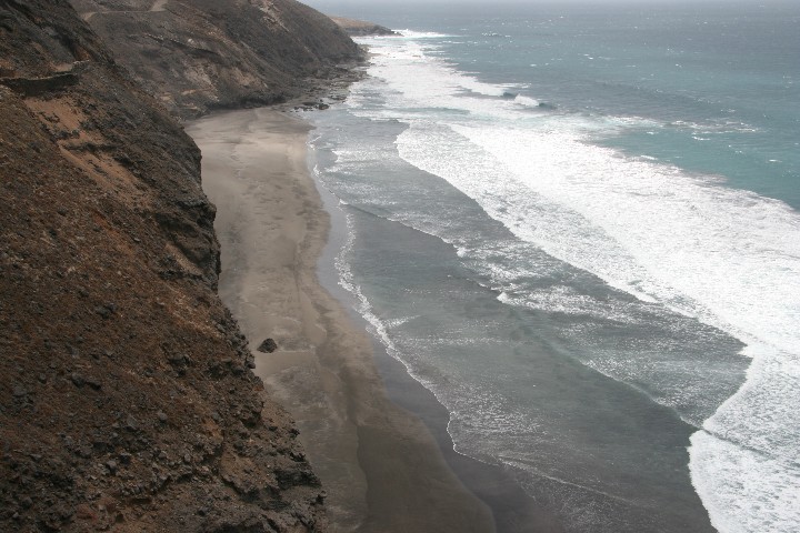
View from the beach towards Cruzinha da Garca |
|
|
|
The passage through the water |
|
|
|
Ribeira de Inverno |
|
|
|
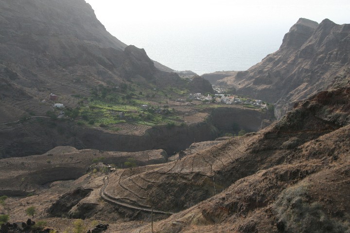
Looking down onto Cruzinha |
|
|
|
|
|
|
|
|
The forking trail |
|

|
|
Between Figueiras de Baixo and Figueiras de Cima |
|
|
|
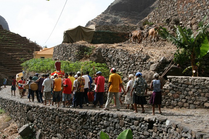
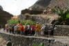
Ecclesial procession |
|
|
|
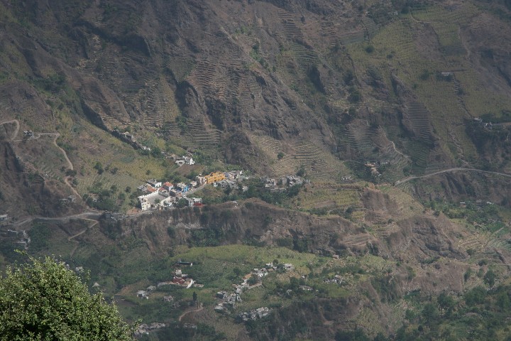
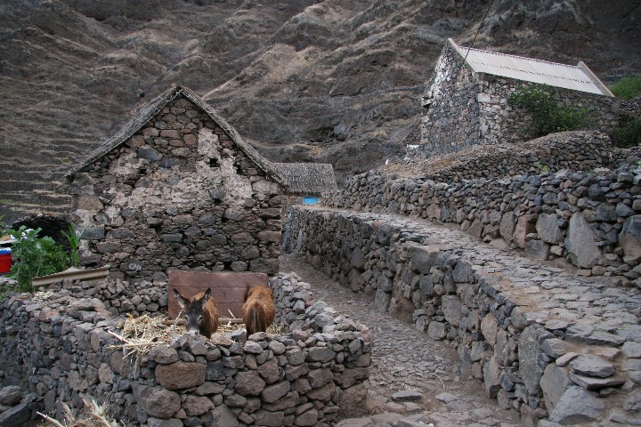
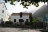
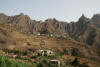
Traditional houses in Figueiras de Cima |
|
|
|
3. Day:
to Alto Mira III
|
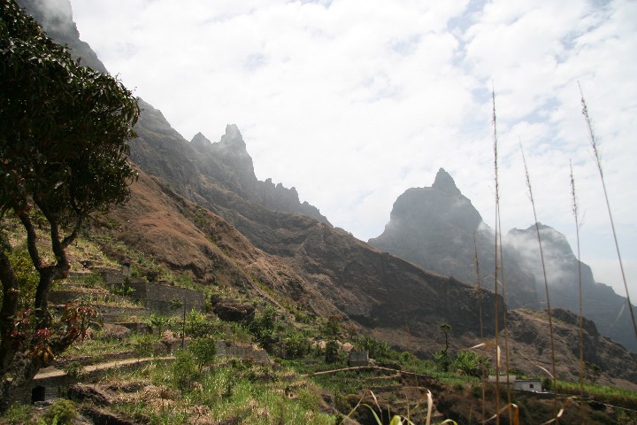
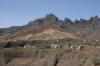
The rock face which
had to be scaled was clearly visible from the house. My hostess was
shocked when she saw me in full gear with two backpacks. To me it did not
appear too dramatic. After that climb I would spend some time on the road
which starts right there and then runs through the highland. When I
arrived on top I realized soon that the continuation was not much more
relaxing either. For one thing the ascent was still enormous, for another
thing the sun was now burning down on me without mercy. Next target point
was Salto Preto some three kilometers further, a steep descent down into
Alto Mira valley. From the road, two small bypasses lead to its starting
point. I actually saw two small footpaths branch away to the right one
after another, but I had the impression that they ended up in the fields,
and it did not appear to me that I had already spent so much time on the
road. Fifteen minutes later I fortunately met two locals, carrying bundles
of firewood on their heads. They explained to me that I had passed the
connecting trail some time ago, so I turned and walked with them. Indeed,
those were the paths I had seen before, and shortly after I stood on a
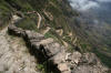
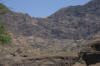
rock where Salto Preto had its starting point. The trail winded down in
narrow and steep serpentines with sometimes shaky ground and approximately
sevenhundred meters in height. After a short distance an intentionally
chipped off little tree blocked the trail. I moved it to the side and
continued, but then I wondered why someone had done this. Was it a hint
that the trail was no longer safe to walk on?*
Anyway, I was feeling a little bit insecure, what could I do if such a
situation came up? I determined that I would leave my big backpack behind
in order to be able to climb to the top again, and started reducing the
consumption of my water supply. I only gained more confidence when I was
“close” enough to hear dogs barking and cocks coo. But there was still a
good distance left to go, because the trail goes all the way down into a
gorge, only to wind itself steeply up again on the other side. Having
finally arrived in the village I headed into the next grocery store and
emptied five small bottles of lemonade in no time. Completely exhausted as
I was, I stayed on the terrace for half an hour. Now it’s the right time
to speak about the main problem:
there are rarely
any opportunities to stock up food supplies along the way or for the next
day unless one eats canned fish or fried sausage. Fruits were not
available. I therefore contented myself with biscuits filled with
chocolate, which was by far not sufficient to cover the energy needs
underway.
Alto Mira III was
situated higher up, but was manageable after the rest I had and with the
energy I regained. I felt relieved
when I finally arrived. With the support of a local man I found some
private accommodation and received again a very rich dinner. The village
was accessible by road, so I was very pleased to know that I could take an
aluguer (shuttle) if I did not feel fit enough the next day.
*One
of the travel book authors Cabo Verde – Reise Know How, Dr. Pitt
Reitmeier, whom I first met on the ferry from Santo Antão to Sao Vicente
and several times again, explained to me later that the locals do that
because of the goats. It prevents them from going further down, but find
something to eat there.
|
|
|
|
|
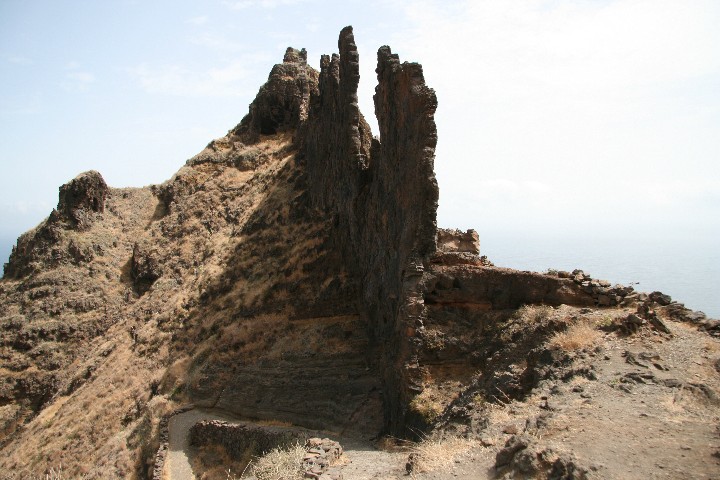
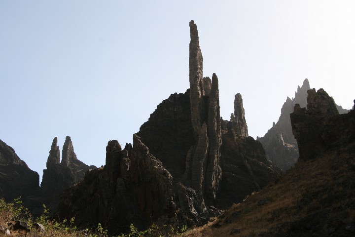
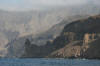
The trail runs high into the rock face |
|
|
|
|
|
|
View towards Salto Preto |
|
|
|
|
|
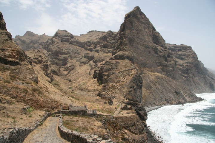
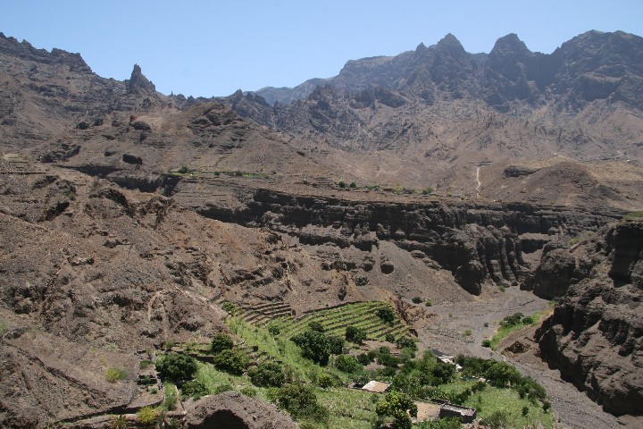
View from Salto Preto down to Alto Mira II and III (upper left) |
|

|
|
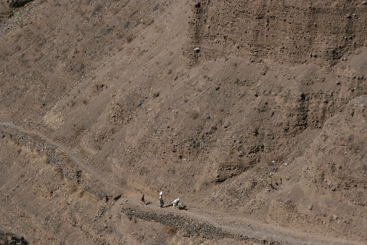
Alto Mira II |
|
|
|
|
Before Alto Mira III |
|
|
|
4. Day:
to Chã de Morte
|
Since I had to some
degree recovered from the previous day, I was determined to master also the
rest of the trip, it was only another three hours walk. Again I went steeply
uphill, passing bizarre rock formations, and eventually arrived on the top
of the pass, a mountain gap. From there I had a superb view of the valley
Ribeira das Patas and onto my final destination, the village Chã de Morte.
Going downwards was at first quite steep again, the trail later flattened a
bit and in the end I came through downs, which made walking pleasantly
relaxing. Before arrival I had to traverse one more gorge, steeply down,
then steeply up, and in this way I completed my trip. After I had dropped my
big backpack at Tia Rosa’s grocery store, I strolled through the village and
then waited at her shop for the next aluguer which would take me to the
islands capital Porto Novo.
|
|
|
|
|
At Alto Mira III |
|
|
|
Looking up to the mountain gap |
|
|
|
Last sight of Alto Mira III |
|

|
|
The valley Ribeira das Patas |
|
|
|
Cha de Morte in the distance |
|
|
|
|
|
|
|
The last gorge |
|
|
|
Cha de Morte |
|
|
|
Bordeira de Norte |
|
|
|
|
|
|
|
|
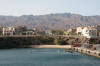
At Porto Novo harbour |
|
|
|
Malpais |
|
|
|
Mindelo, island capital of Sao Vicente |
|
|
|
Tip:
for hiking on Santo Antão I recommend to acquire the hiking book (only in German)
and the corresponding hiking map published by Goldstadt. The trails are
described in detail, and GPS data is also available.
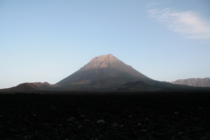
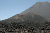
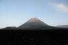
I subsequently flew
back to Cabo Verde’s capital Praia, Santiago, and from there to Fogo, in
order to climb up the active volcano Pico de Fogo (2829 m) beside some other
activities. Following are some pictures.
|
|
|

|
|
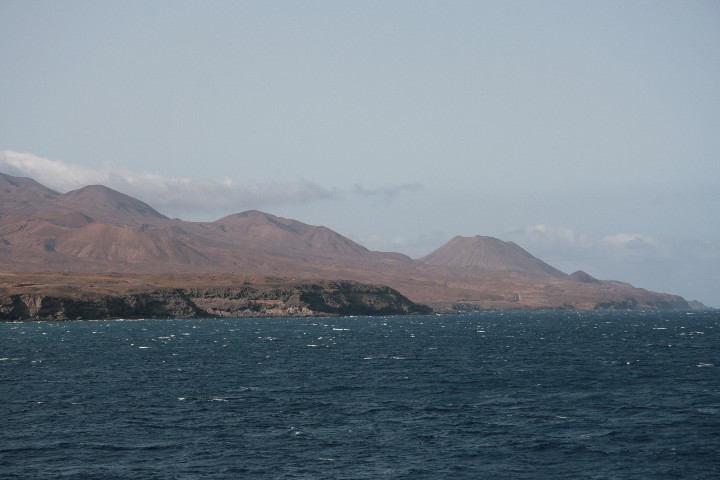
Pico de Fogo during landing approach |
|
|
|
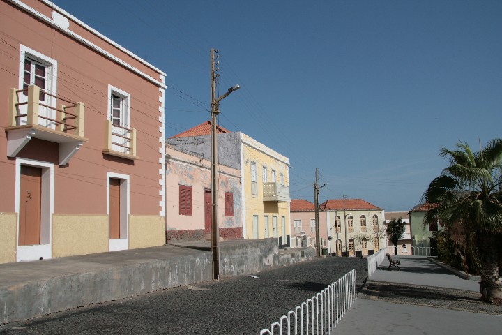
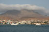
The island capital Sao Filipe |
|
|
|
|
|
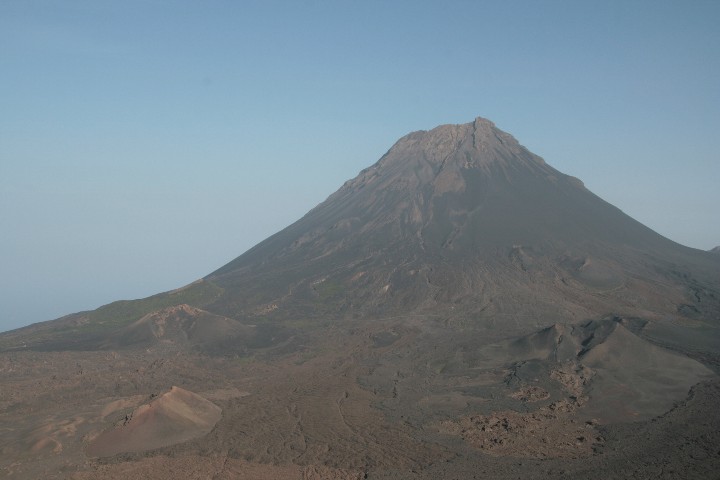
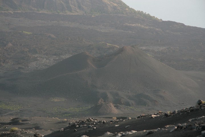
Pico de Fogo and Pico Pequeno |
|
|
|
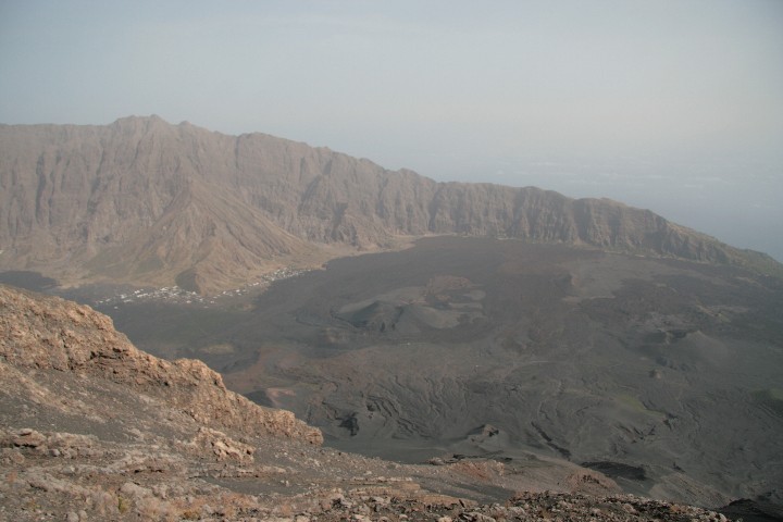
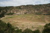
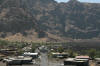
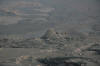
One of the two villages in the caldera, Bangaeira |
|
|
|
|
|
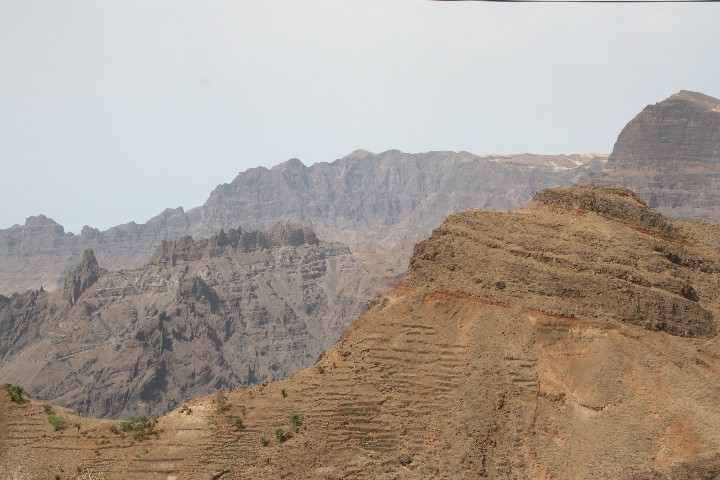
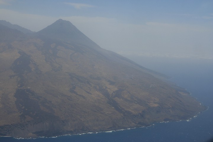
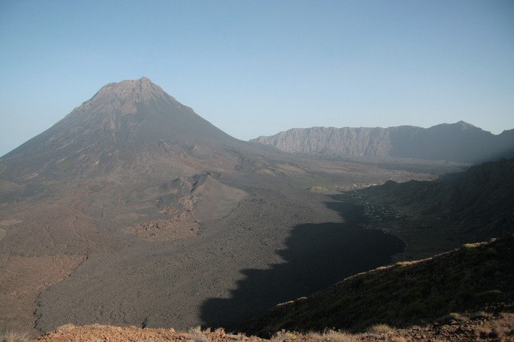
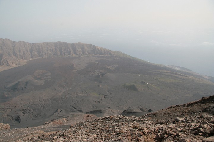
Bangaeira and Portela seen from the northern Bordeira |
|

|
|
View from Monte Gomes, northern Bordeira |
|
|
|
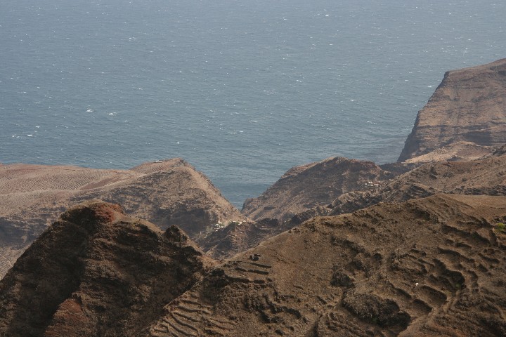
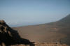
Gap in the Bordeira, down to the ocean |
|
|
|
|
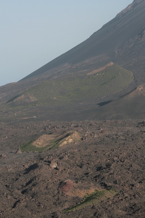
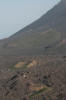
Vineyard and vegetable cultivation |
|
|
|
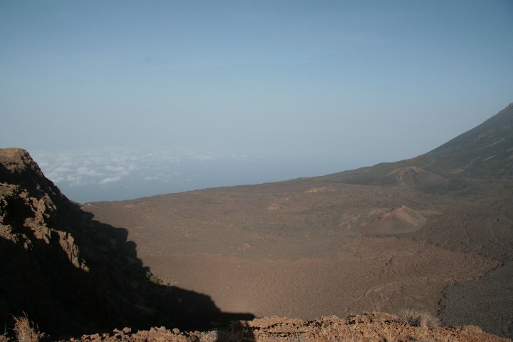
View down to Mosteiros |
|
|
|
|
|
In the sunset light |
|
|
|
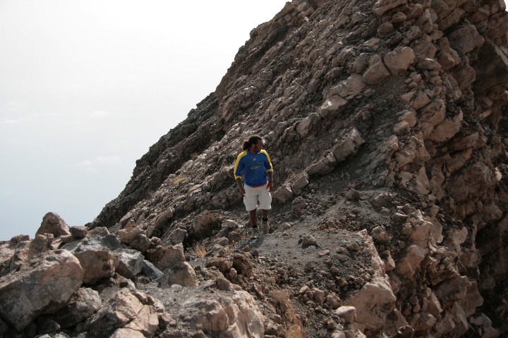
Gas vents during the ascent to the Pico |
|
|
|
|
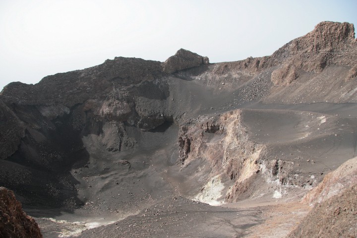
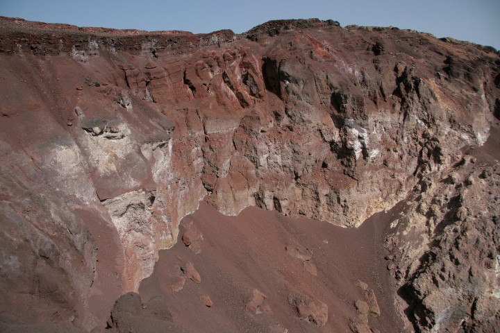
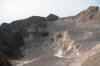
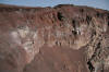
Pico de Fogo crater |
|
|
|
|
|
|
|
|
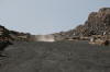
The good fun descent |
|
|
|
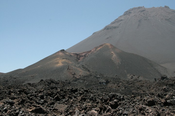
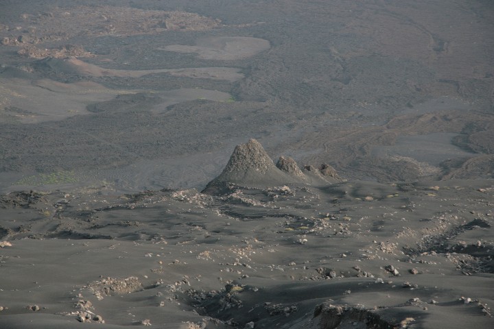
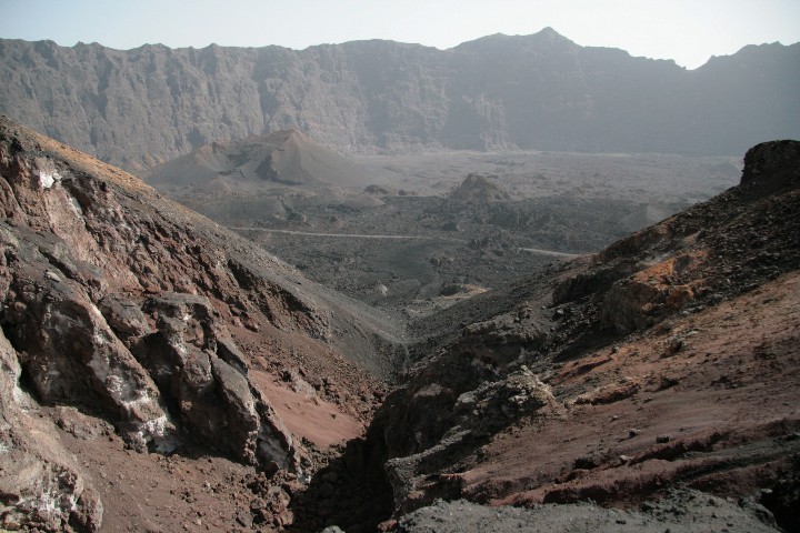
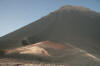
The new crater Pico Pequeno |
|
|
|
|
Funnels caused by gas eruptions |
|
|
|
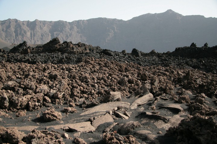
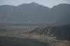
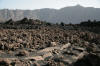
Lava fields from various eruptions |
|
|
Back to:
Preface
1.Day
2.Day
3.Day
4.Day
Stand:
25.07.09
|