|
|
||
|
|
|
|
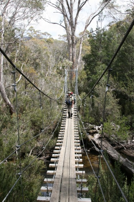
Don’t forget to register for the trek well in advance at www.overlandtrack.com.au, as only 34 parties are admitted per day. The charge is Aus$100. In addition, you need to pay for the general national park admittance, which is also valid for all other national parks on Tasmania. The amount depends on the means of transportation among other things. Rangers will check your papers while on the trek! I decided to stay on the trek for eight days in order to have the opportunity to do some side tracks as well. This also meant that I had to carry food supplies for eight days and additional clothing. Furthermore, I had to add warm clothing, rain gear, tent, insulation mat, sleeping bag, cooking utensils, photo equipment etc.. All in all it summed up to almost 27kg, which I packed into my big pack and into the day pack. Coming from Launceston and arriving at the visitor center, we were briefed by a ranger and then proceeded to the office to have our trekking permits issued. Once done there is a shuttle bus every 15 minutes which also passes the trek’s starting point Ronny Creek.
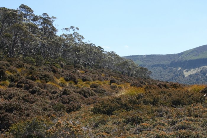
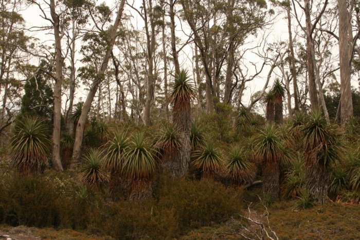
The trail commences with gentle ascend on a stilted boardwalk. Boardwalks will be there throughout the trek again and again. The advantage is, you don’t need to wade through deep mud in wet weather conditions. However, even more important is that nobody feels compelled to find a dry section and thereby trampling down all plants.
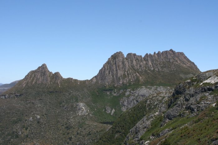
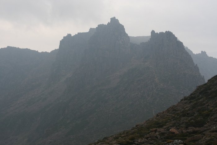
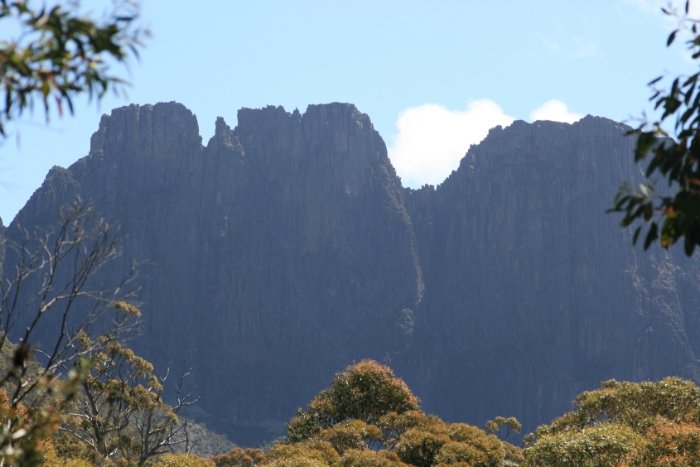
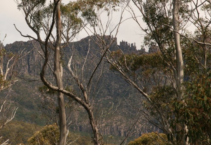
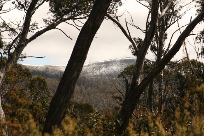
Soon after, the trail gets gradually steeper until you stand at the base of Marion’s Lookout, from here it is going straight upwards. The outlook from the top is superb: first sight of Cradle Mountain, as well as Crater Lake and Dove Lake, and beyond. Added to it the magnificent weather, a great spot to rest for a while. There are others who think the same way, of course, and it is a worthwhile destination for day-trippers. Admittedly, it looked different here the day before: a blizzard swept over the area, and the next morning some part of the trail was iced.
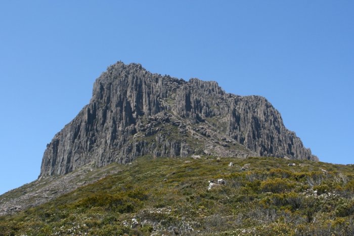
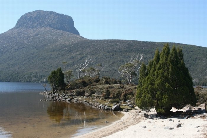
Next recommended stop is Cradle Mountain, you can drop your backpack somewhere and ascend to the top. Enjoy the splendid views before advancing to the first overnight site, Waterfall Valley Hut. Here, as everywhere else, you have also the option to set up your tent. I decided for the latter since the new lodge was already pretty busy. The old lodge by the camping ground is still in good condition and is clean, but we as campers used it as a wind sheltered cooking place, only. In the evening it got quite windy and chilly. Since I was tired from the walk, I slipped into my sleeping bag after dusk.
After an unhurried breakfast I packed my bag and stored it at the new lodge, grabbed my day pack and started my way up to Barn Bluff. Again, incredible views. I returned after four hours, and fully packed went on to Windermere Hut.
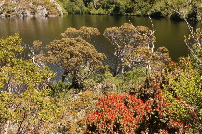
While on the way I could not help taking another detour to Lake Will. When I arrived I regretted not having brought my swimming trunks with me. The lake’s shore was bordered with several little beaches. The water was cool indeed, but a short bath would have been very nice.
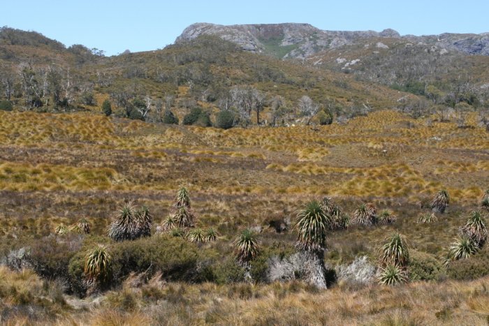
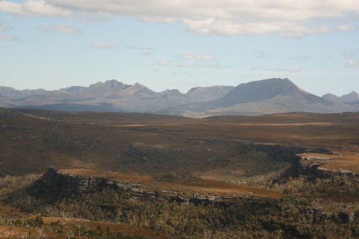
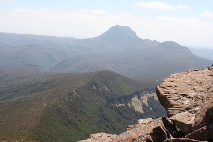
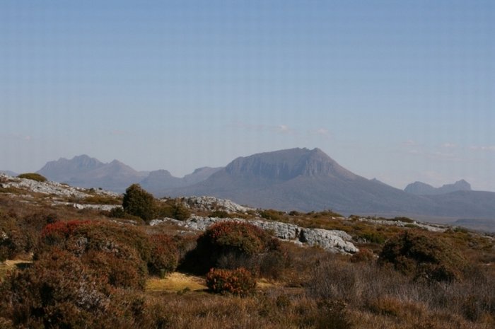
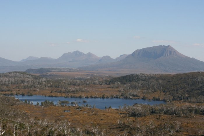
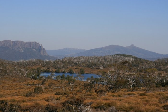
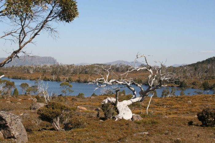
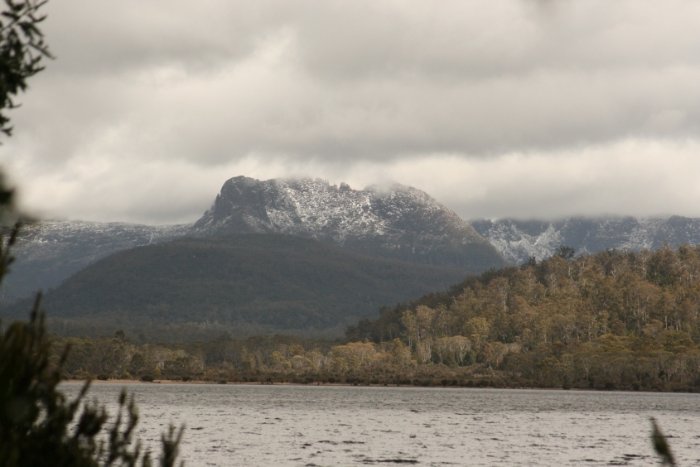
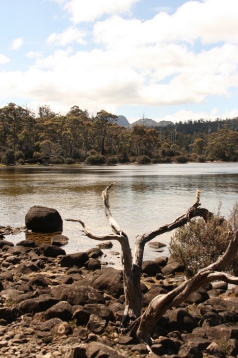
The trail continued more or less even until I reached a point with terrific views down on Lake Windermere in front of me, with Mt. Oakleigh in the back, Pelion West and Mt. Ossa, at 1617 m Tasmania’s highest peak. Small lakes in the west added to the impression of an alpine plateau.
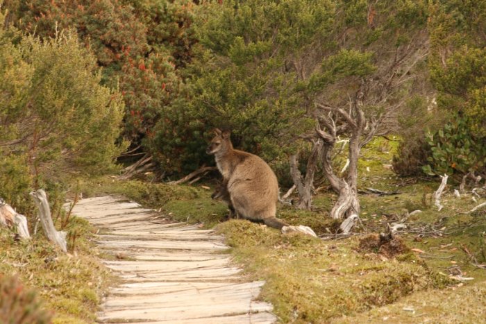
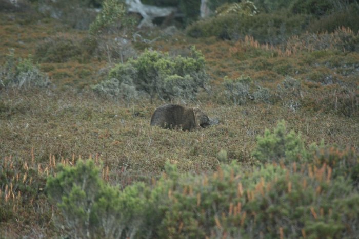
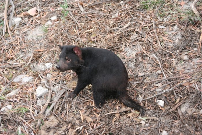
At Windermere Hut there are several wooden platforms on which you can set up your tent. The advantage is that the tent remains nearly clean and the bottom dry, even in bad weather. I myself was not so happy about it because I had problems getting the tent stabilized. The length of the steel ropes with karabiners, affixed to the sides of the platform was not long enough for my small tent. Early in the evening before dusk I strolled along and besides several common wallabies I spotted wombats and one echidna. In the night I could hear possums waddle from one platform to the next. Warnings not to keep any food unsealed in your tent should be taken seriously as these creatures do not hesitate to slash your tent when they smell food.
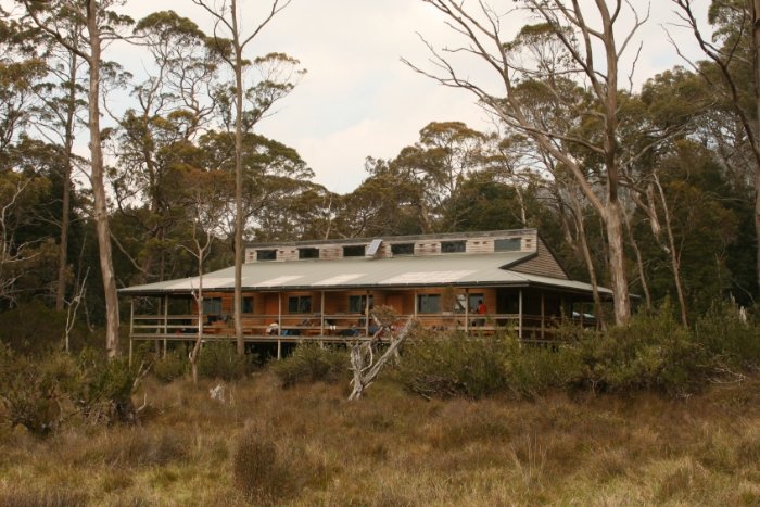
Another beautiful day. Today's 17 km distance was the longest on the trail but easy to manage. New Pelion Hut is the biggest and most comfortable of all. It has six rooms with six bed bunks each, and I decided to take advantage of it, particularly as there was bad weather forecast for the coming night. A side trip to Old Pelion Hut revealed how much more difficult this trek was in the past. A good portion of the trail was swampy, and the wooden blanks once covering the bottom were mostly rotten.
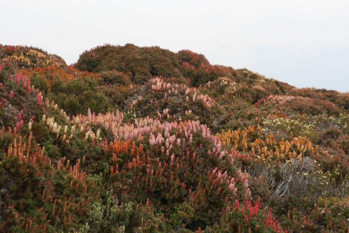
Unexpectedly, the sky cleared again and the morning started sunny. Some time later however, it became cloudy again. Mt. Ossa was already covered in clouds by the time we arrived at the junction, and soon after the first raindrops came down. Climbing up was not possible now, but since I had heard of vast areas with flowers in the vicinity of the mountain, I decided to walk up a little. Indeed I stood in the middle of colourful brightness after walking around Mt. Doris.
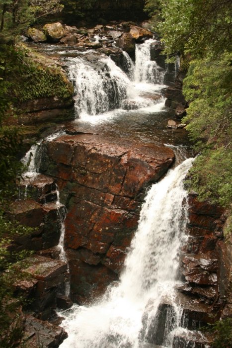
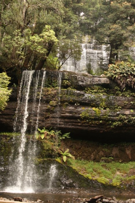
Late in the morning by the time I arrived at Kia Ora it started to rain. When it ceased after lunch, I went for an excursion along the way to the next hut to see D’Alton and Fergusson Falls. On the way back I stopped by at Du Cane Hut, another emergency shelter. Like the ones I had seen before it had a quite romantic flair but I only used it to put on my rain gear because the rain came down now steadily. I pulled the hood down deep into my face – a greenhorn mistake – as I should realise soon. My skull droned when I hit a tree trunk which lay across the trail. My nose was a little battered but some inches sideward I saw a spine from a broken branch … so it could have been worse. Back at Kia Ora, I slipped into my bathing trunks and took a shower in the rain. Other trekkers who were in need of a wash followed. In the evening a possum showed up in search of food, and it was not easy to potect the backpacks of some trekkers who had deposited them outside. The animal was noticeably fat; the ranger remarked that it was “take away season”. For the next two days he had announced rain, cold and snow on the mountains.
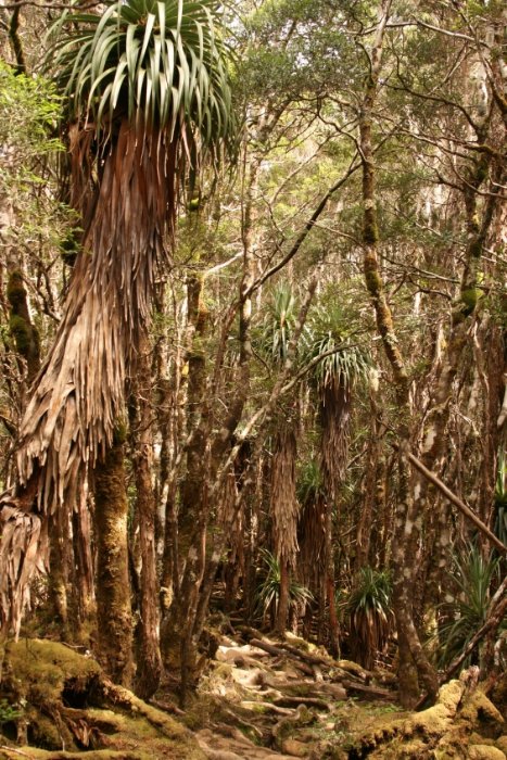
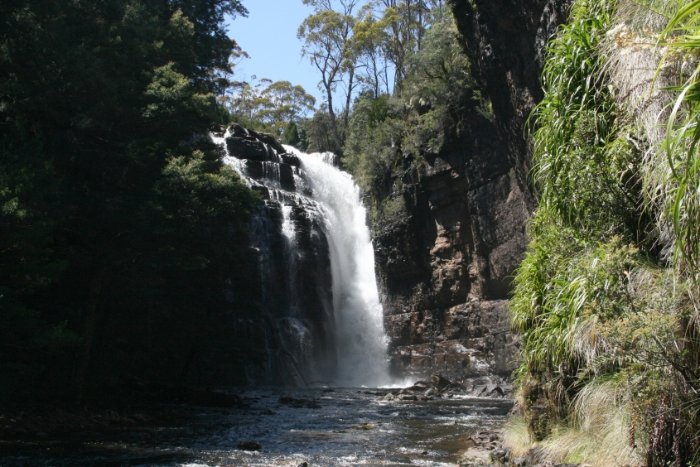
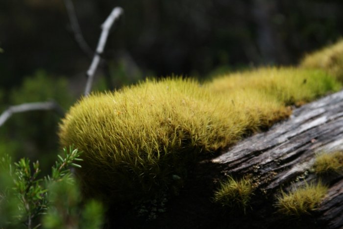
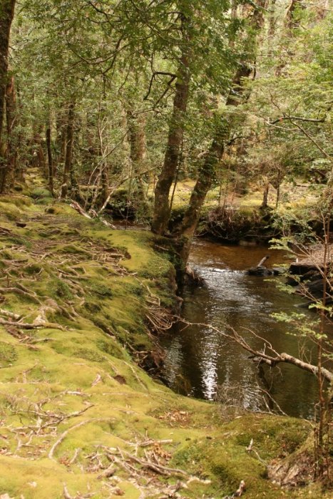
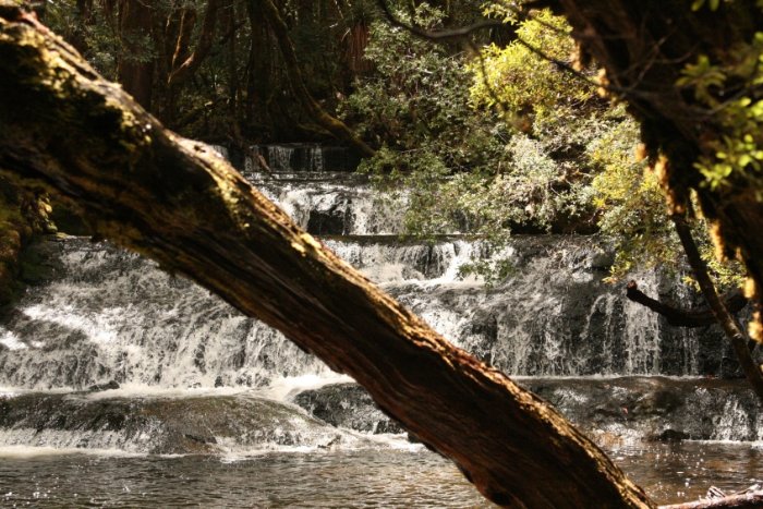
The morning started with drizzle around 6:30 am however, the first blue spots were visible in the sky. In the end we had another beautiful day, and while on my way I made another side trip visiting the last of the three waterfalls, Hartnett Falls. The view onto the waterfall was very nice, but since I could see some beach at the banks of Mersey river, I wanted to go down. A small path runs along the gorge’s edge and then downward to a small river branch where it is easy to wade through. I walked through moss-grown forest and eventually arrived at a fine white gravel beach, an ideal picknick spot. For half an hour I stayed and enjoyed the beautiful view towards the falls and the lush green environment. Walking back I discovered a path climbing up the gorge’s escarpment whereby wading through the water is not needed, but when coming from above this option was not visible.
Coming to Windy Ridge I erected my tent since the weather remained unchanged. During the night however, at around 1:00 am, it finally started raining. The constantly recurring gusts of wind, swooshing over and through the forest kept me awake for some time.
It had stopped raining. I started the day leisurely, so breakfast and packing took quite a while, because I wated for the clouds to open up. It remained cloudy however, for the most part of the trail. Now it seemed that the long announced weather change was due. Shortly after I had arrived at the hut at 2 pm, the rain commenced. The rain was bucketing down from time to time and therefore, we all crowded together in the hut.
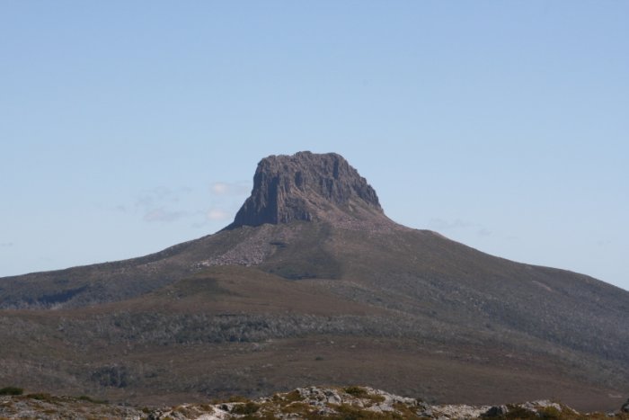
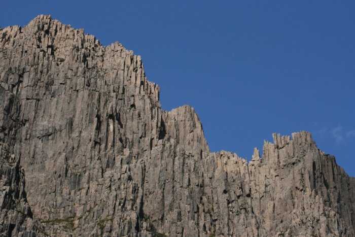
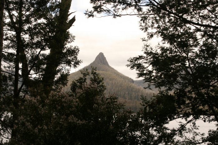
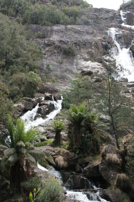
I used a short weather improvement to walk to the nearby Cephissus Falls, and I took some pictures when the sun came out for a moment. I went further towards The Acropolis, a mountain whose rock face is furthermore shaped like an amphitheatre. From there, views are wonderful. In bad weather conditions however, climbing up is perilous. The mossy forest through which I walked was fascinating despite (or because of) the weather condition.
In order to get into Christmas mood Mousse au Chocolat was the right thing, the quite delicious trekker version prepared with water. Gerhard and Ortwin from Bavaria had brought a 2 litre canister with port on the trek and distributed sips along with cucumber slices coated with mustard. From the “Australian corner” chocolat pieces were served.
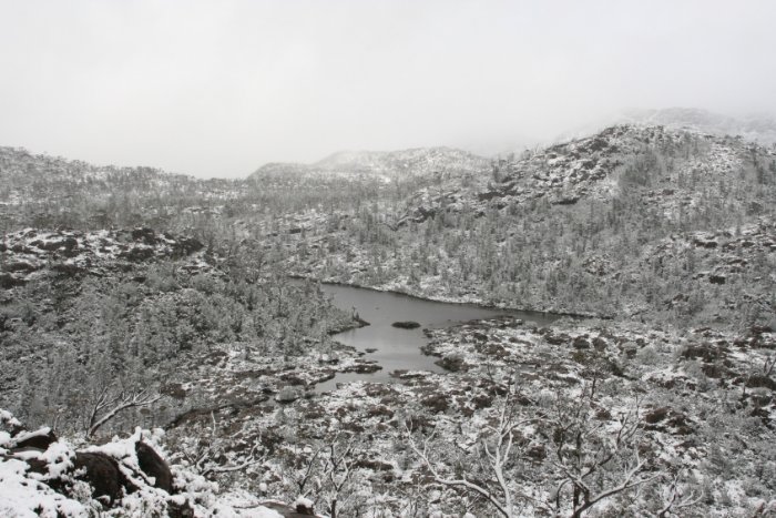
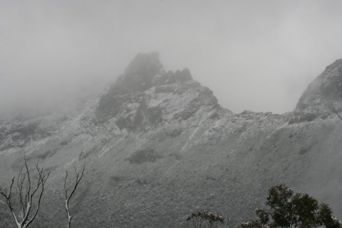
After some Australian trekkers had decided to walk to the Labyrinth – a mountain plateau covered with lakes – Gerhard and I decided to do a pleasure trip into the snow, too. In the night it actually had started snowing further up. As time went on and the higher we went, the ongoing rain transformed into snow, and some time we had a White Christmas. Then I nearly got a shock when beside the trail a snow heap leaped into the air and quickly deverged. It was a wallaby, which had snowed up.
During the three hours walk in the afternoon to Narcissus Hut, the rain was steady but not intense. Narcissus is definitely the least appealing of all huts, but in view of the cold and damp weather, everyone prefered spending the night there instead of staying in their tents.
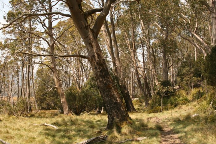
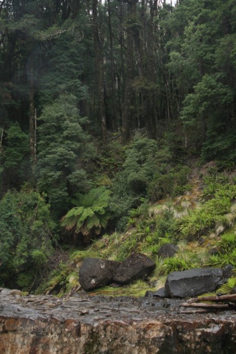
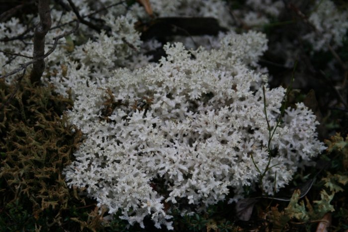
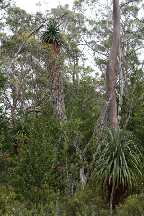
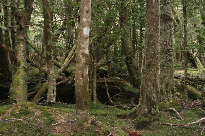
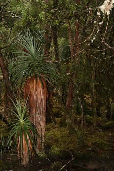
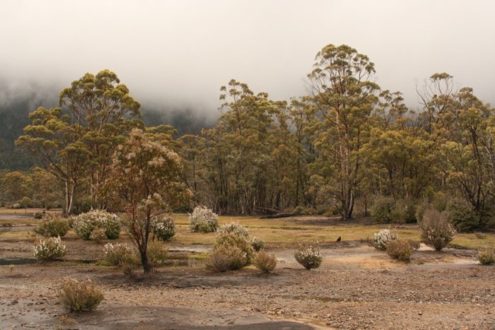
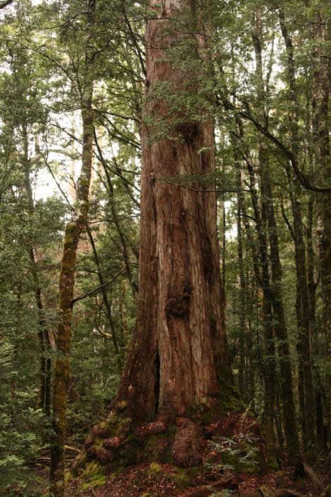
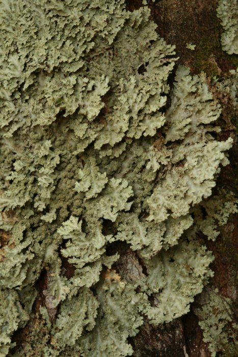
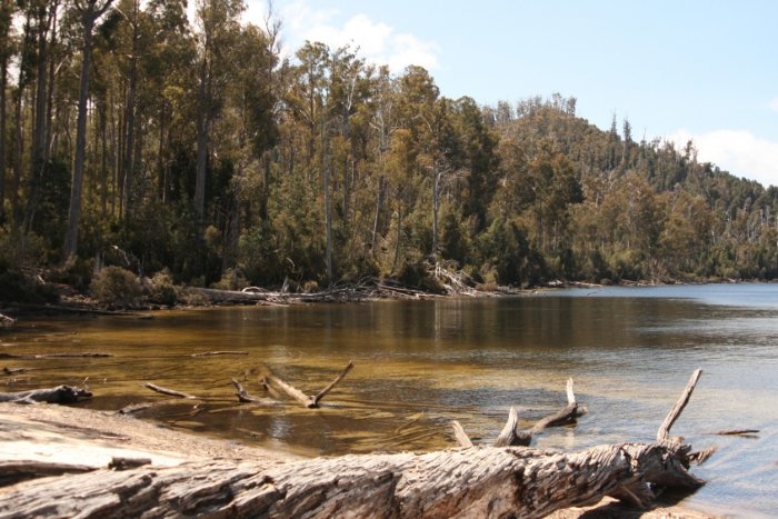
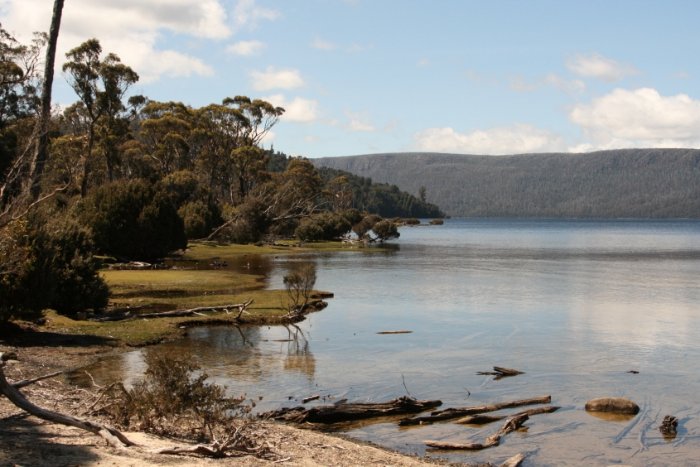
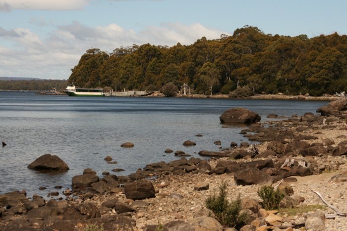
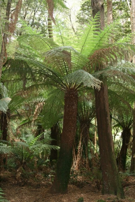
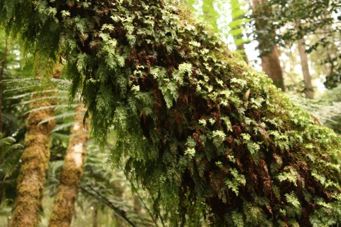
Contrary to most others, I did not want to take the boat to Cynthia Bay but rather walk the remaining 14 km although there was some light rain in the beginning. The trail went along the shore of Lake St. Clair and after two hours I arrived at Echo Point Hut where I prepared my last meal, the remaining Mousse au Chocolat. Up to here the way was more exhausting than I had expected. Again and again it was going up and down for a short time, and I often had to step over exposed roots and walk through mud. I was fascinated by the sight of the huge eucalyptus trees and tree ferns; some of them were thickly covered with mosses at their trunk. Equally fascinating was the abundance of varying mosses and lichens. Progressing on the trail, walking became more and more pleasant, the track got drier and more levelled. The vegetation changed also, giving signs that the climate in the southern part of the lake was generally drier.
Before I reached the Visitor Center, I went to Platypus Bay for a side trip, ate my last muesli bar, enjoyed the sunshine, the beach and the certainness of having arrived at the end of the trek. And when I appeared, just by chance, there was a reception by some of the fellows I met on the trek during those days.
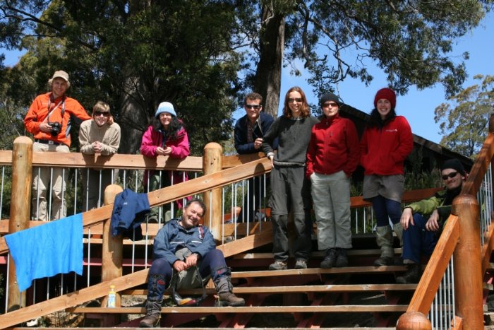
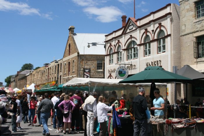
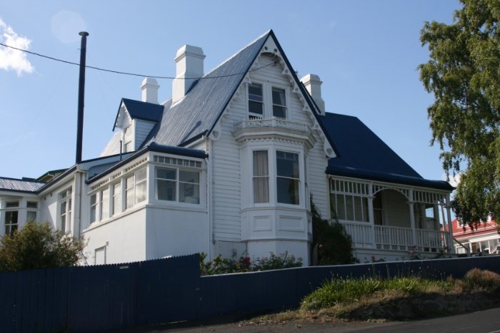
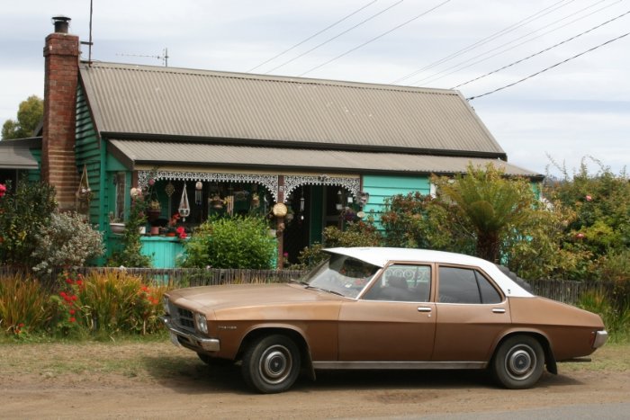
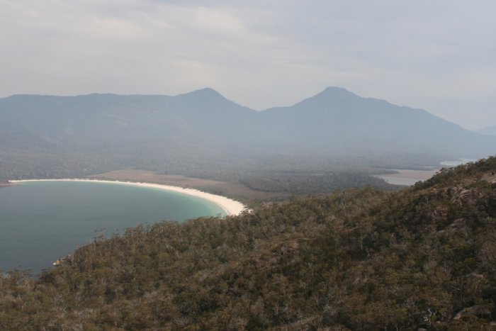
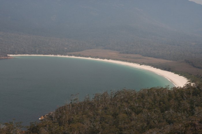
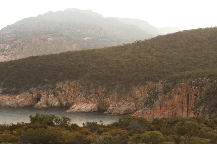
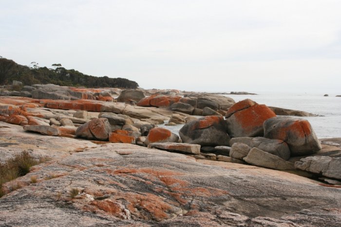
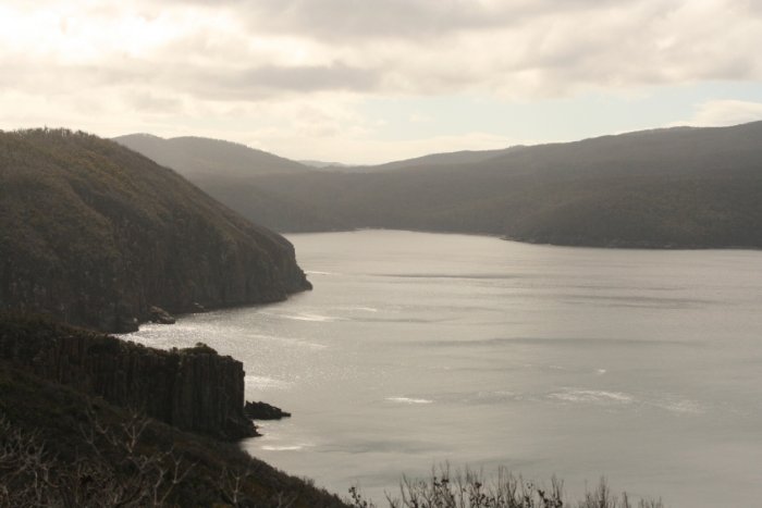
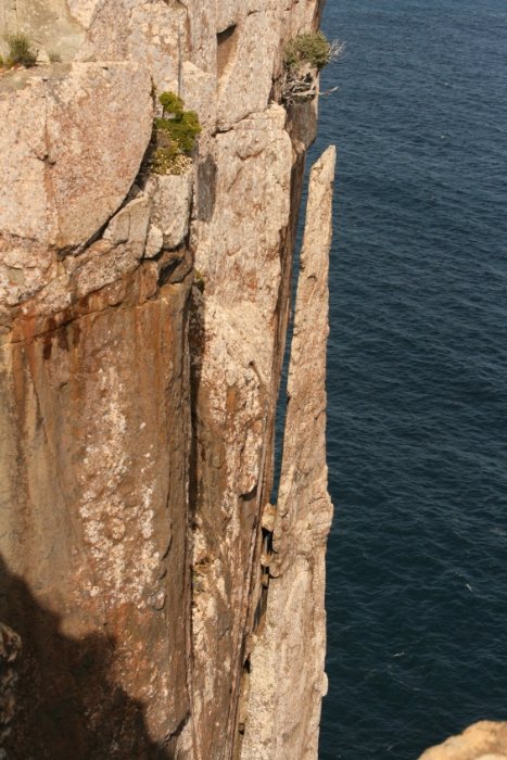
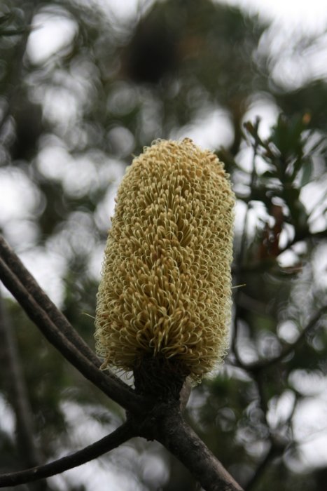
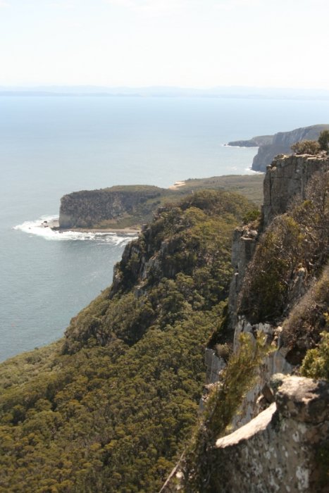
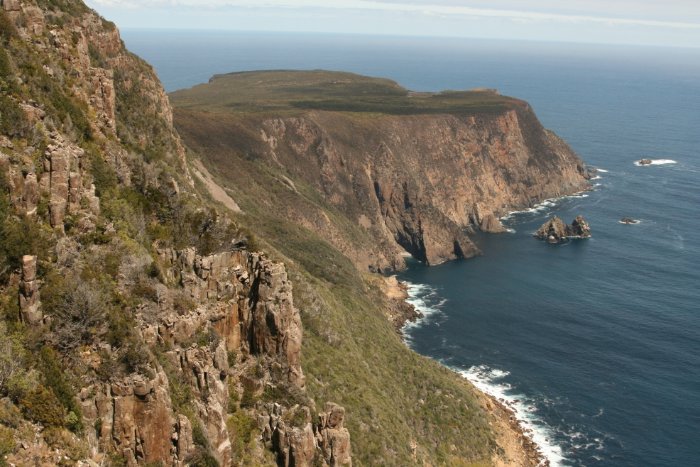
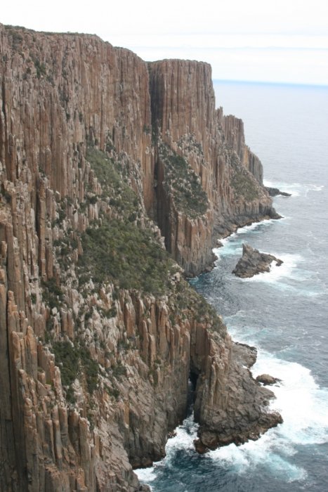
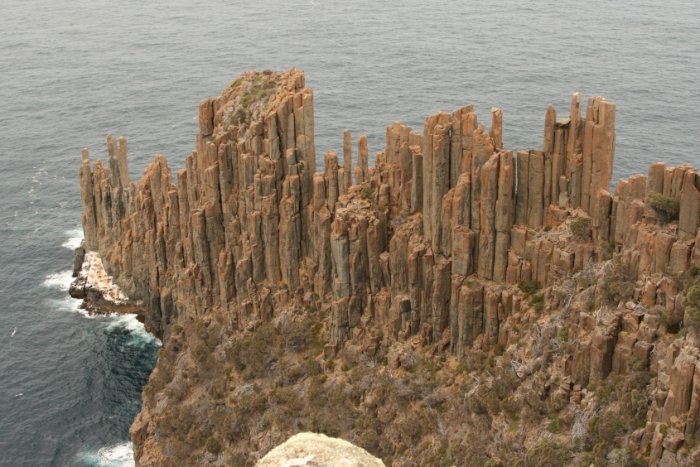
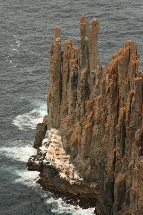
After we had returned by bus to Hobart in the evening, we went to a Vietnamese restaurant for a last get-together. The following days I undertook some more excursions. Here I would like to emphasise Tasman Peninsula, and especially the walk to Cape Raoul. A few pictures will give you some further impression of Tasmania.
Back to: Preface 1. Day 2. Day 3. Day 4.Day 5. Day 6. Day 7. Day 8. Day Stand: 19.07.09 |
||||||||||||||||||||||||||||||||||||||||||||||||||||||||||||||||||||||||||||||||||||||||||||||||||||||||||||||||||||||||||||||||||||||||||||||||||||||||||||||||||||||||||||||||||||||||||||||||||||||||||||||||||||||||||||||||||||||||||||||||||||||||||||||||||||||||||||||||||||||||||||||||||||||||||||||||||||||||||||||||||||||||||||||||||||||||||||||||||||||||||||||||||||||||